
We found these great track notes for a 20km walk down to the Nattai River in the Southern Highlands and decided to give it a whirl!

Luckily team slow poke had enough time to stop and smell the WARATAHS.

Half of the walk on the first day is a firetrail which suddenly turns into an overgrown walking track. The track gets a bit sketchy when you get to the bottom of Troys Creek – but if you run into the Nattai River, keep it on your right and you’ll find the campsite.
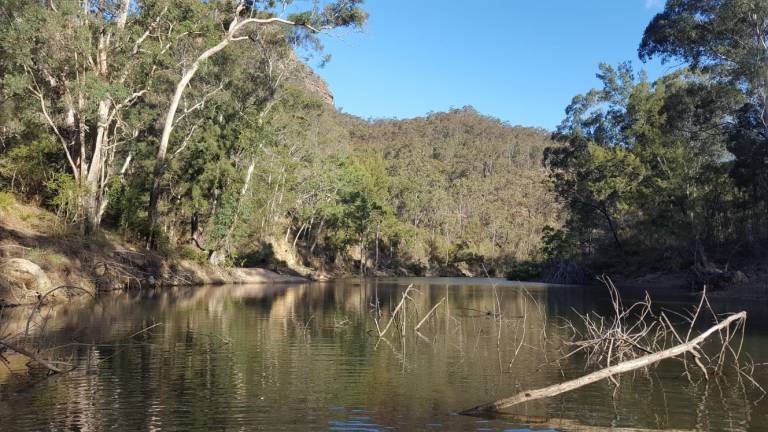
The Emmets’ Flat camp site was a beautiful clearing on the bank of the Nattai River with established campfires (with wind shields, grills and benches)

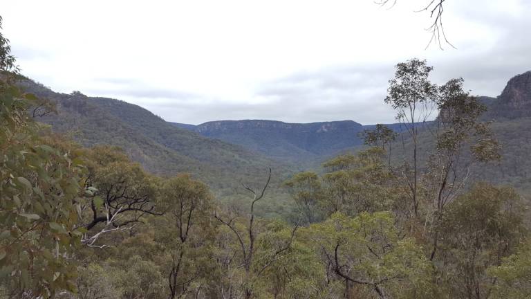
On the way home we had to climb up the same height (400m), over half the distance – but were rewarded with fabber views
Where to beer?
We celebrated making it up to the top of the hill by having a beer at the Eden Brewery in Mittagong (only open Wed-Sun) – 10 outta 10, would recommend! Especially the Palm Pale and Wattle Weizen.
Too long; didn’t read
- Track notes are here
- Day 1: 11.5km – half fire trail and half slightly overgrown walking track
- Day 2: 6.5km – steep up hill walking track with primo views
- The track isn’t listed on the Hill Top topo map, but we superimposed the GPX files onto it – Starlights circuit.
